
APPLICATIONS
Precision beyond
the open sky.
A multi-sensor approach to positioning, navigation and spatial data capture — across changing environments.
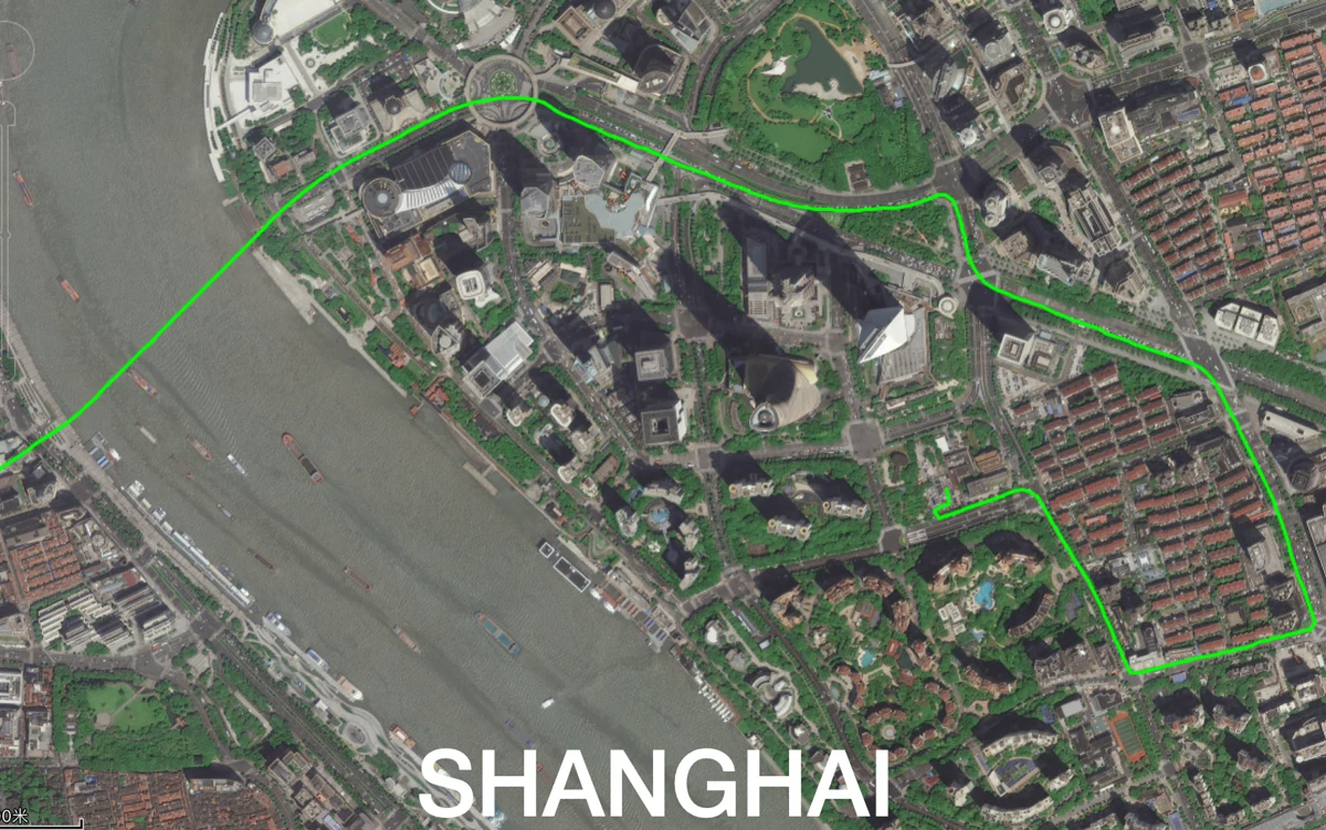
01 / URBAN ENVIRONMENTS
Positioning through urban complexity.
GNSS, inertial and visual information work together to support positioning in built environments where satellite visibility can vary.
Explore AlgoT1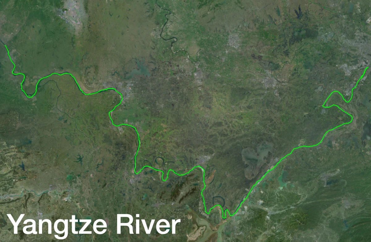
02 / INLAND WATERWAYS
Stay on course.
Integrated navigation brings satellite and inertial measurements together for moving platforms on inland waterways.
Explore ATmini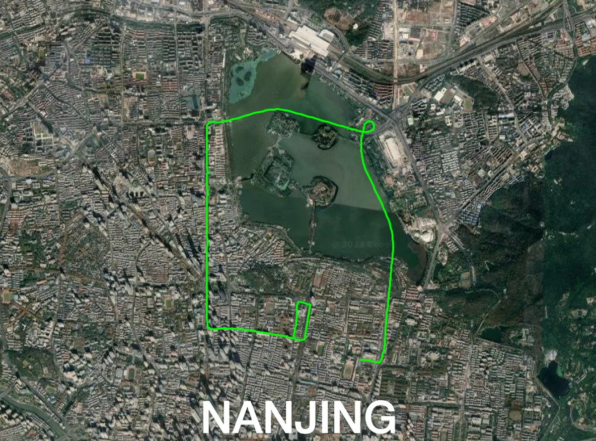
03 / TUNNELS & UNDERGROUND
Look beyond the satellite signal.
Explore sensor-fusion navigation for challenging environments, with real-time and post-processing workflows.
Explore AlgoAhead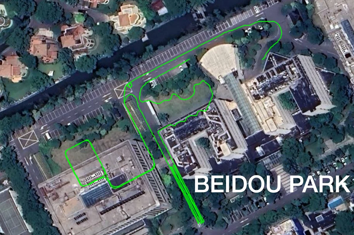
04 / 3D MAPPING
Bring physical spaces into focus.
Handheld LiDAR and camera integration supports the capture of spatial data for 3D modeling workflows.
Explore ATS360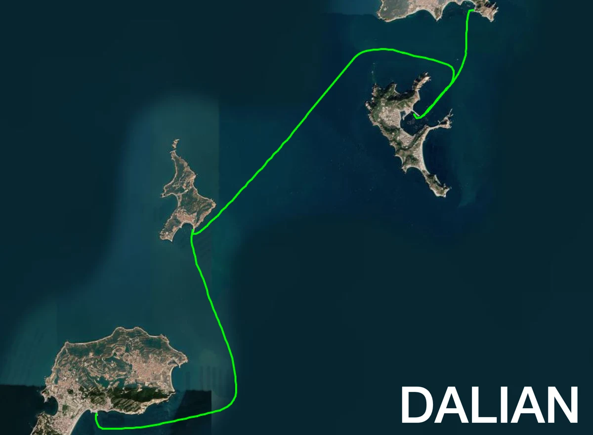
05 / MARINE APPLICATIONS
Navigation across open water.
High-precision positioning and integrated navigation support marine platform development and evaluation.
Explore ATmini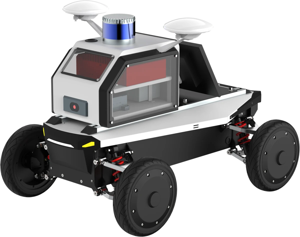
06 / AUTONOMOUS SYSTEMS
A platform for
what moves next.
A custom mobile chassis, GNSS/INS navigation, industrial computing and LiDAR come together in the AlgoFusion unmanned robotic system.
Explore AlgoFusionLET’S BUILD SOMETHING PRECISE