
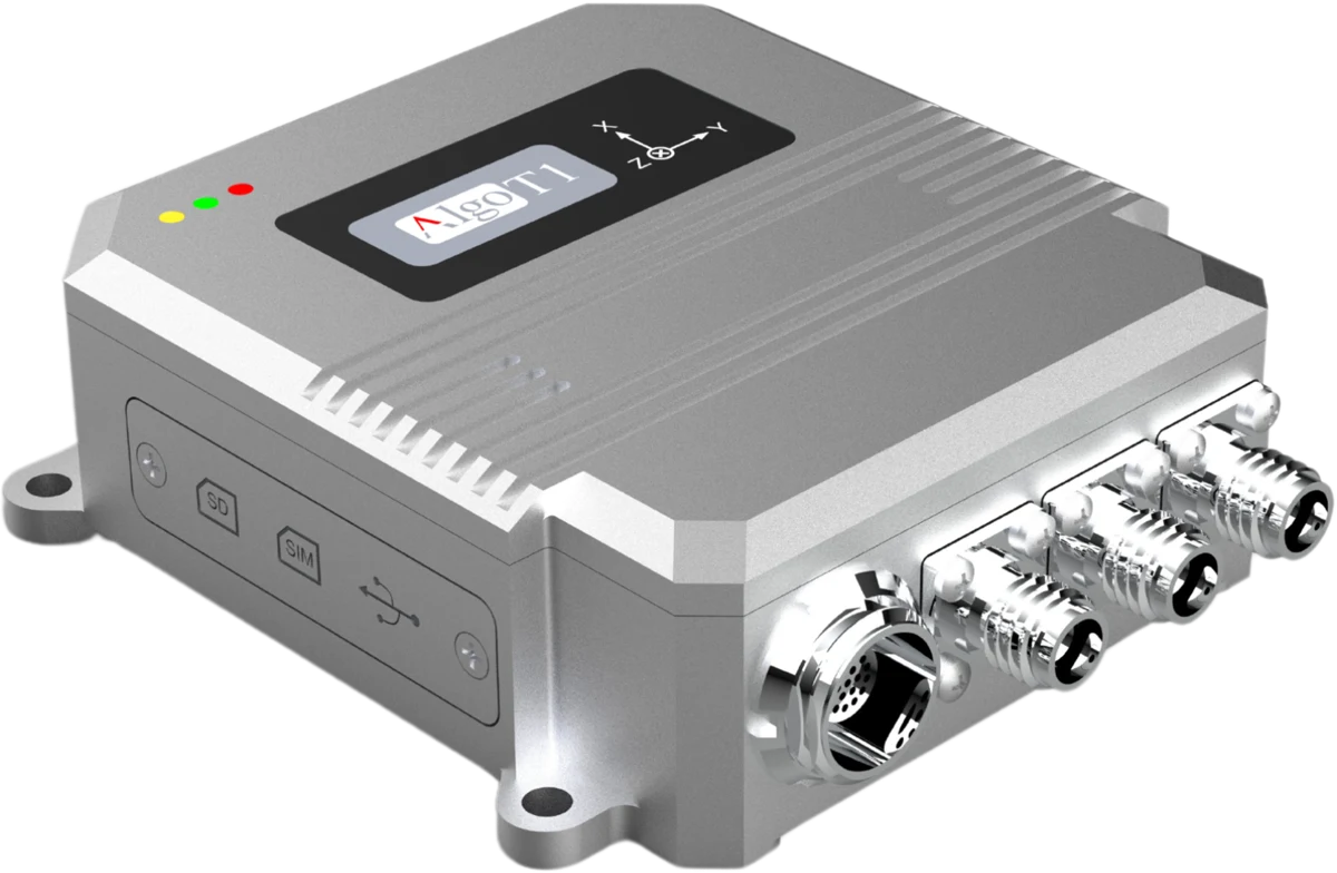
ATmini
High-precision integrated navigation
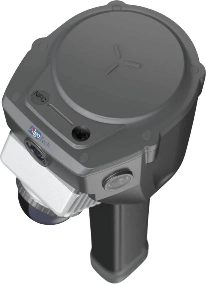
SLAM MAPPING
Capture the world in three dimensions. A handheld scanner combining LiDAR, cameras, GNSS and an IMU with multi-sensor fusion SLAM.
Discuss your projectA CLOSER LOOK
Looking for a specific configuration?
Our team can help you find the right fit.
| LiDAR field of view | 360° horizontal |
|---|---|
| LiDAR point rate | 200,000 points / second · first echo |
| Battery life | RTK >10 h · SLAM >5 h |
| Ingress protection | IP64 |
| System weight | ≤1.6 kg |
| Operating temperature | −20 °C to +60 °C |
Specifications depend on configuration and operating conditions. Please confirm the current specification with our team.
Request technical documentationEXPLORE THE RANGE
High-precision integrated navigation
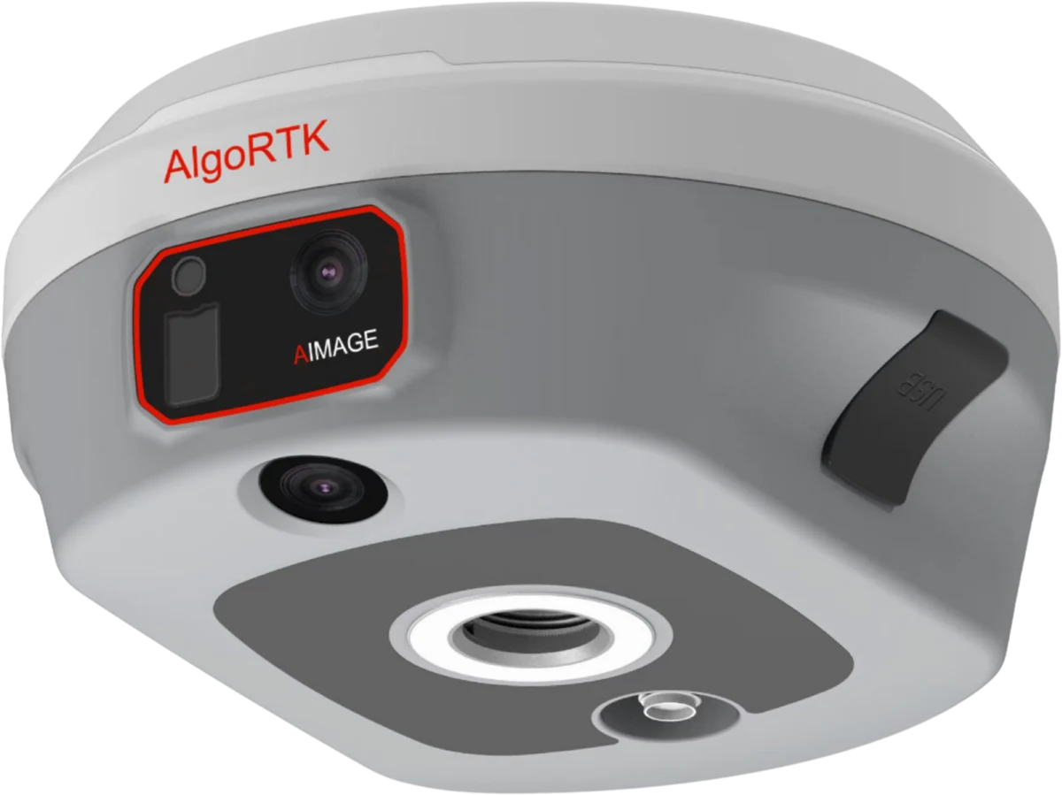
Laser dual-camera RTK receiver
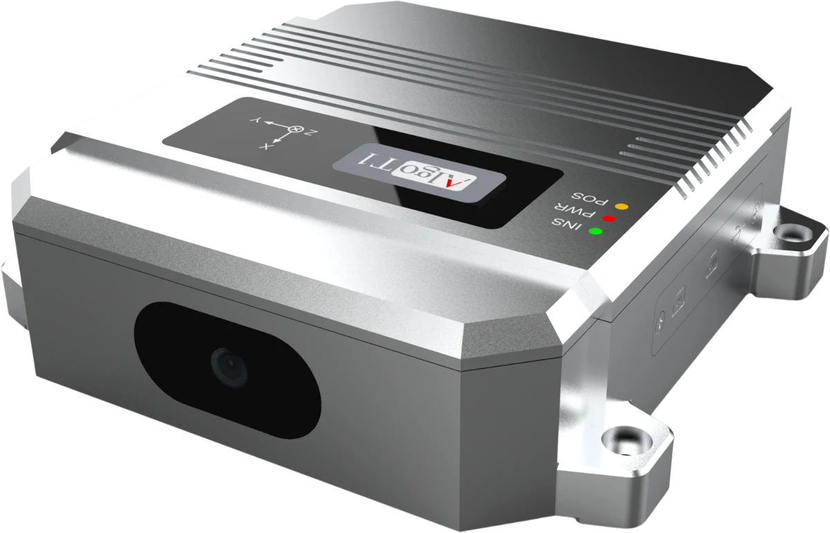
Vision-enhanced integrated navigation
LET’S BUILD SOMETHING PRECISE